华为HarmonyOS地图服务 4 - 通过“地图相机“控制地图的可见区域
场景介绍
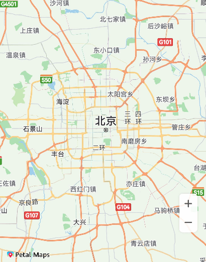
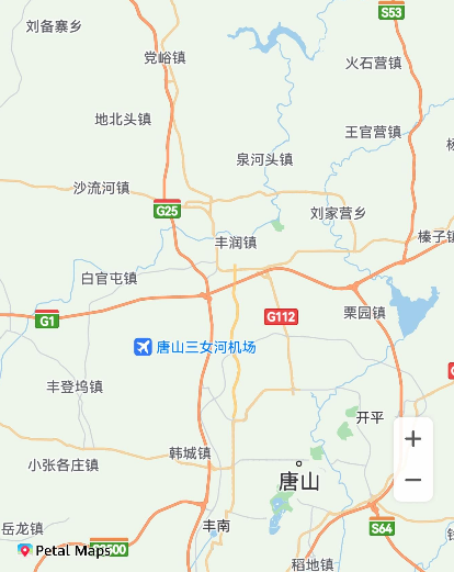
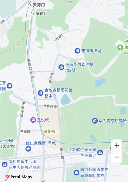
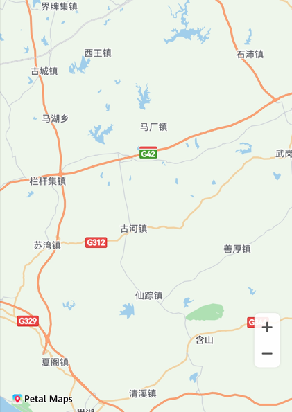
华为地图的移动是通过模拟相机移动的方式实现的,您可以通过改变相机位置,来控制地图的可见区域,效果如图所示。
本章节将向您介绍相机的各个属性与含义,并移动相机。
相机移动前


接口说明
您可以通过map命名空间下的moveCamera(update: CameraUpdate)方法、animateCamera(update: CameraUpdate, duration?: number)方法和animateCameraStatus(update: CameraUpdate, duration?: number)实现移动地图相机。方法入参CameraUpdate可通过以下方法创建。
| 接口名 | 描述 |
|---|---|
| zoomTo(zoom: number): CameraUpdate | 设置地图缩放级别。 |
| zoomOut(): CameraUpdate | 缩小地图缩放级别,在当前地图显示的级别基础上减1。 |
| zoomIn(): CameraUpdate | 放大地图缩放级别,在当前地图显示的级别基础上加1。 |
| zoomBy(amount: number, focus?: mapCommon.MapPoint): CameraUpdate | 根据给定增量并以给定的屏幕像素点为中心点缩放地图级别。 |
| scrollBy(x: number, y: number): CameraUpdate | 按像素移动地图中心点。 |
| newLatLngBounds(bounds: mapCommon.LatLngBounds, padding?: number): CameraUpdate | 设置地图经纬度范围;设置地图区域和边界之间的距离。 |
| newLatLngBounds(bounds: mapCommon.LatLngBounds, width: number, height: number, padding: number): CameraUpdate | 设置地图经纬度范围;设置经纬度矩形范围的屏幕高宽;设置地图区域和边界之间的距离。 |
| newLatLng(latLng: mapCommon.LatLng, zoom?: number): CameraUpdate | 设置地图的中心点和缩放层级。 |
| newCameraPosition(cameraPosition: mapCommon.CameraPosition): CameraUpdate | 更新地图状态。 |
开发步骤
相机移动
- 初始化地图并获取MapComponentController地图操作类对象。显示地图章节中有详细讲解。
- 导入模块。
import { MapComponent, mapCommon, map } from '@kit.MapKit'; - 通过调用MapComponentController的moveCamera方法、animateCamera方法和animateCameraStatus方法,可实现移动地图相机。
您可以选择以动画方式或非动画方式移动相机。
1)动画方式移动相机时,您可以设置动画持续的时间。
2)非动画方式移动相机是瞬时完成的。
// 创建CameraUpdate对象
let cameraPosition: mapCommon.CameraPosition = {
target: {
latitude: 32.0,
longitude: 118.0
},
zoom: 10,
tilt: 0,
bearing: 0
};
let cameraUpdate = map.newCameraPosition(cameraPosition);
// 以非动画方式移动地图相机
this.mapController.moveCamera(cameraUpdate);
// 以动画方式移动地图相机
this.mapController.animateCamera(cameraUpdate, 1000);
// 以动画方式移动地图相机,并返回动画结果
let animateResult = await this.mapController.animateCameraStatus(cameraUpdate, 1000);
相机移动前后对比
4. 您还可以通过以下方式创建CameraUpdate对象。
// 方式1:相机放大级数加1,保持其他属性不变
let cameraUpdate = map.zoomIn();
// 方式2:相机放大级数减1,保持其他属性不变
let cameraUpdate1 = map.zoomOut();
// 方式3:指定相机缩放级数zoom值,其他属性不变
let zoom = 8.0;
let cameraUpdate2 = map.zoomTo(zoom);
// 方式4:
// a、指定相机缩放级别增量amount,您调用此方法可以在原来相机的缩放级别之上,进行适当的缩放
// b、指定缩放级别增量和一个中心点,您调用此API可以移动相机至中心点位置,并进行缩放
// 以屏幕左顶点为(0, 0)点,positionX正值代表可视区域向右移动,负值代表可视区域向左移动
// positionY正值代表可视区域向下移动,负值代表可视区域向上移动
let point: mapCommon.MapPoint = {
positionX: 31,
positionY: 118
};
let amount = 2.0;
let cameraUpdate3 = map.zoomBy(amount, point);
// 方式5:设置相机的经纬度和地图层级
// a、仅指定相机的经纬度,实现中心点的移动
// b、指定相机的经纬度和地图层级,您调用此API可以移动相机至中心点位置,并进行缩放
let latLng: mapCommon.LatLng = {
latitude: 31.5,
longitude: 118.9
};
let zoom = 10;
let cameraUpdate4 = map.newLatLng(latLng, zoom);
// 方式6:设置相机的可见区域
let latLngBounds: mapCommon.LatLngBounds = {
northeast: {
latitude: 32.5,
longitude: 119.9
},
southwest: {
latitude: 31.5,
longitude: 118.9
}
};
// 设置地图显示经纬度范围,设置地图区域和边界之间的距离为5像素
let cameraUpdate5 = map.newLatLngBounds(latLngBounds, 5);
// 方式7:设置相机的可见区域
// 设置地图显示经纬度范围,设置经纬度矩形范围的宽为9像素,设置经纬度矩形范围的高为16像素,设置地图区域和边界之间的距离为5像素
let cameraUpdate6 = map.newLatLngBounds(latLngBounds, 9, 16, 5);
// 方式8:滚动相机,将相机按照指定的像素点移动
let x = 100.0;
let y = 100.0;
let cameraUpdate7 = map.scrollBy(x, y);
设置相机最大/最小偏好缩放级别
// 设置最小偏好缩放级别,范围为[2,20]
this.mapController.setMinZoom(6);
// 设置最大偏好缩放级别,范围为[2,20]
this.mapController.setMaxZoom(14);
设置地图相机的边界
Map Kit支持设置地图相机的边界。通过setLatLngBounds(bounds: mapCommon.LatLngBounds)接口指定一个LatLngBounds来约束相机目标,使用户移动地图时,相机目标不会移出此边界。当设置参数为空时,地图相机的边界清除。
let bounds: mapCommon.LatLngBounds = {
northeast: {
latitude: 5,
longitude: 106
},
southwest: {
latitude: 2.5,
longitude: 101
}
};
this.mapController.setLatLngBounds(bounds);


